Official Vermont Snowmobile Safety Course Online
Take this Vermont–approved course to complete your online snowmobile safety education. Snowmobile-Ed.com is a delegated provider for the Vermont State Police.
unlimited exam attempts
 Lifetime Card
Get snowmobile operator certified in 3 steps.
Study and pass the $34.95 online course.
Print your online course completion document.
Get ready to go snowmobiling!
Do you need Vermont Snowmobile education?
You need education if you were born after July 1, 1983, and will be riding in Vermont.
Vermont State Police Requirements
You must be at least 12 years old to take this online course.
You do not have to be a resident of Vermont to take this online course.
Vermont State Police
45 State Drive
Waterbury, VT 05671
What to Expect From Snowmobile Ed
Live‐Action, High‐Definition Videos
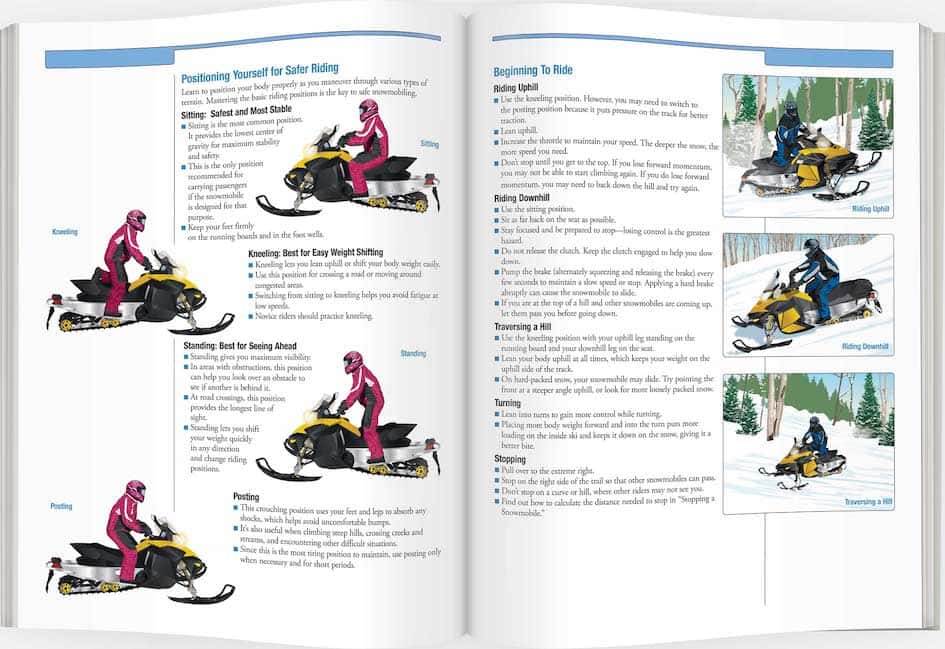
Our course videos feature a combination of professional educators (who double as professional actors), entertaining storylines, and up‐to‐date scenarios that give you one of the most effective ways to learn safe snowmobiling practices.
Watch this 46-second sample to see how we put you in the driver’s seat.
Comprehensive Instruction in Vermont Snowmobile Safety Education
This official training program is developed to meet the standards for Snowmobile safety education established by Vermont. Snowmobile Ed is the only safety course provider that develops print materials on behalf of government agencies responsible for Snowmobile laws and regulations.
State-Approved Content
As a course provider approved by Vermont State Police, the Vermont Snowmobile Ed Course covers everything you may need to know in order to be safe.
Get StartedLearn Your Way on Any Device
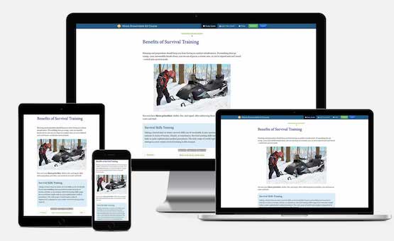
Snowmobile Ed offers online courses that are fully mobile-friendly from start to finish. This safety course is designed to work on your smartphone, tablet, laptop, or desktop computer.
Saved Progress
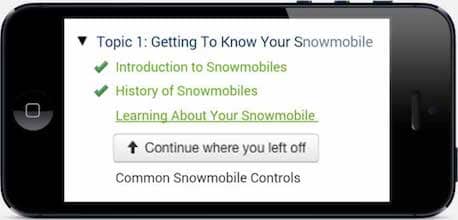
You may complete the course at your own pace. The course can be completed in one sitting or a little at a time over several days. Log in and out at any time, and we'll keep track of your progress. Most students finish the course in a few hours.
Vermont Approved
Vermont State Police
45 State Drive
Waterbury, VT 05671
Made in the U.S.A.
This safety course is proudly made to serve students, agencies, and organizations worldwide.
How Do I Get My State Snowmobile License?
Snowmobile education is currently required in many states. An approved Snowmobile safety course is required to comply with the laws and regulations in those jurisdictions. Depending on your age, you may be required to have the Snowmobile Safety Education Certificate. For more information, see the Vermont Snowmobile Laws and Regulations page.
Did you lose your certificate? Replace it here.
Get Started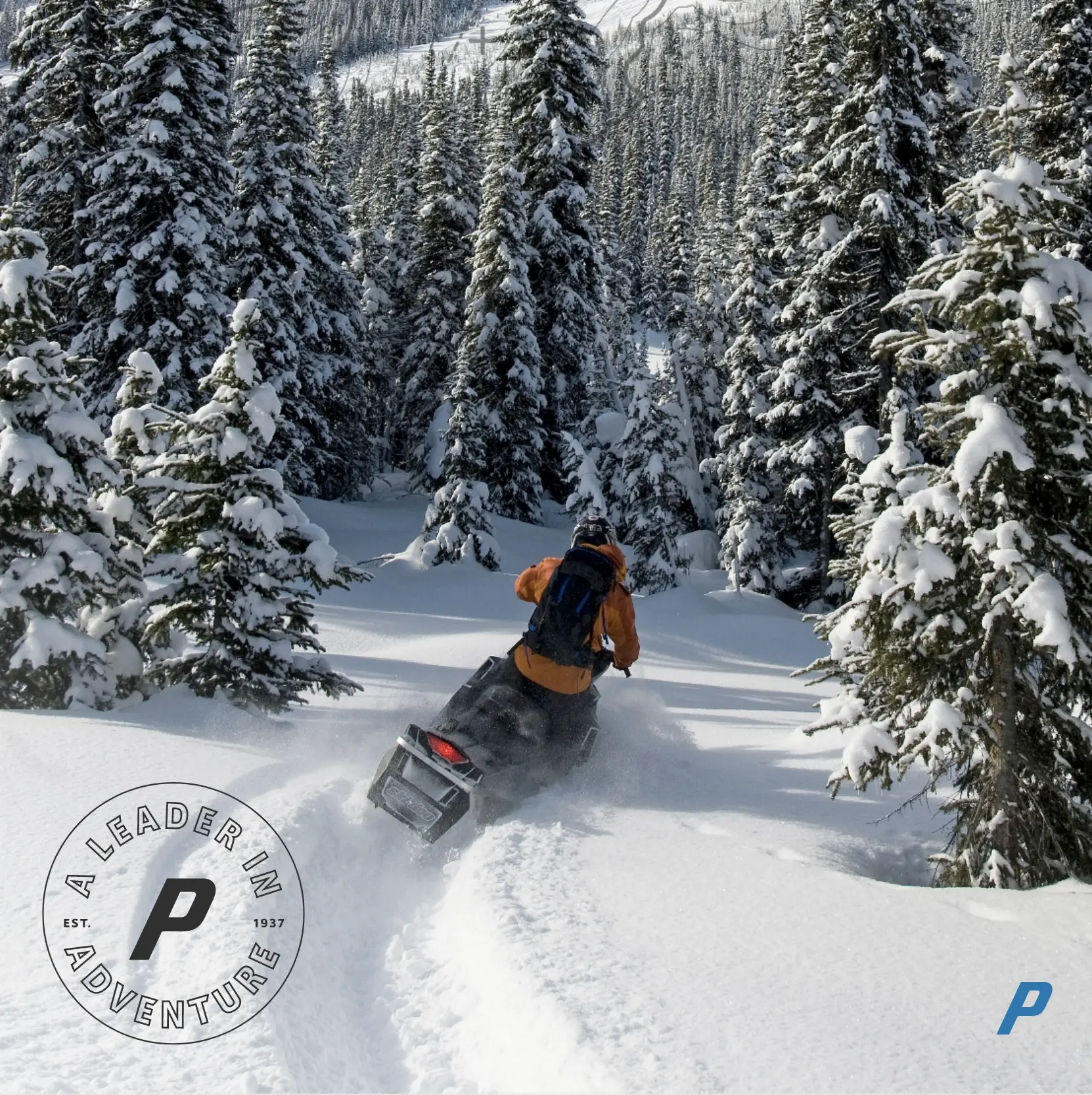

Insure Your Passion®
As a leader in adventure, Progressive can protect your sled from the mountain tops to the snowiest trails. Progressive offers the coverages you need to explore care-free. Discover how we can protect you and your snowmobile all year round.
Get a QuoteVermont Frequently Asked Questions
Price and Payment
How much does the Vermont Snowmobile Ed Course cost?
The Vermont Snowmobile Ed Course fee is $34.95.
Taking the Course
Do you need Vermont Snowmobile education?
You need education if you were born after July 1, 1983, and will be riding in Vermont.
What is the minimum age to take this online course?
You must be at least 12 years old to take this online course.
Do I have to be a resident to take the Vermont Snowmobile Ed Course?
You do not have to be a resident of Vermont to take this online course.
Course Approval and Acceptance
Is the Vermont Snowmobile Ed Course approved by the Vermont State Police?
The Vermont Snowmobile Ed Course is approved and accepted by the Vermont State Police.
Is my Vermont Snowmobile Safety Education Certificate accepted elsewhere?
Most states and provinces that have mandatory education requirements will accept the Snowmobile Safety Education Certificate. (This is known as “reciprocity.”) If you plan to operate in another state or province, make sure you check their reciprocity laws before doing so.
Quizzes and/or Exams
I failed a unit quiz. Have I failed the course?
If you fail a unit quiz, you must restudy the unit and take the quiz again until you pass. You must score at least 80% on the unit quizzes to pass.
Do I have to take an online exam?
The Certification Exam is the exam you take at the end of the online course. You must score at least 80% on the exam to pass. You have unlimited attempts to pass the exam. If you don’t complete the exam in one session, don’t worry. When you log in later, you will be taken to the first unanswered question of the exam.
About Your Certification
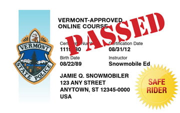
What is the permanent Vermont Snowmobile Safety Education Certificate?
The Snowmobile Safety Education Certificate is proof that you have successfully completed all the education requirements. You can print the Snowmobile Safety Education Certificate right then, and/or request that a PDF be emailed to you.
Replacement of Lost or Damaged Documents
How do I replace my Snowmobile Safety Education Certificate if I’ve lost it or it has been damaged?
To replace a lost or destroyed Snowmobile Safety Education Certificate, log in to the course and print a new one.
We’re people, not robots.
Your Snowmobile Ed course comes with a dedicated customer service team made up of real people, not robots. We’re here to provide assistance to you through all channels—phone, email, and chat.
We’re available to help you:
Mon-Fri 8am to 8pm CST
Sat-Sun 8am to 5pm CST
1-800-830-2268 (toll free)
